

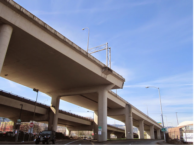
This was once going to connect the Fremont Bridge to I505. (Image TLM March 2015)
Neighbors were alarmed when they noticed surveyors planning to clear away homes along the proposed route for I-505. The initial environment impact statement was four pages. In November 13, 1970, the Oregonian reported in “Road Route Plan Aired” that J.H. Versed construction engineer for the State Highway Department’s metropolitan division estimated that the construction would start in 1973 after homes along Thurman and Vaughn Street could be acquired and demolished. He estimated that the interstate would be completed in 1976. A few months later in September 1971 neighborhood groups filed a class action suit seeking to prevent further acquisition of right-of-way for I-505 and I-405 that were displacing residents.
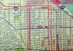
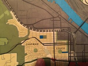
Memories of Portland Development Commission’s(1) proposed Vaughn Street Urban Renewal plan were still in the recent past I-405 and I-505 would eliminate the blight that Housing Authority of Portland(2) and others had failed to eliminate. Thurman Street homes were being purchased to facilitate clearing a path for the 1.44-mile Portland spur. The city planning staff estimated that 400 people and some 200 of units of housing would be impacted by the I-505 alone. Our Historic Slabtown Tour would not be possible today had this freeway been built because what little that would be left to view would be so close to a freeway that the car noise would cancel out my tour guide vocal cords. The I-505 was conceived of as a junction was conceived to run between St. Helens Road (Highway 30) to Interstate 405. Puzzlingly one of the adverse impacts cited in the blocking of the construction of this interstate was that it would trigger an increase in land values.
(1) PDC now known as Prosper Portland
(2) HAP now know as Home Forward