
Resources
These resources are for those who are curious about SE Foster. Our tour focuses on businesses on SE Foster from 52nd-72nd. This area is served by the Trimet #10 and #14 buses.
There are three books I wove together to devise a theme of our history tour of SE Foster that I lead once a month on the 4th Saturday of each month.
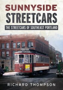 Sunnyside Streetcars: The Streetcars of Southeast Portland by Richard Thompson (2019)
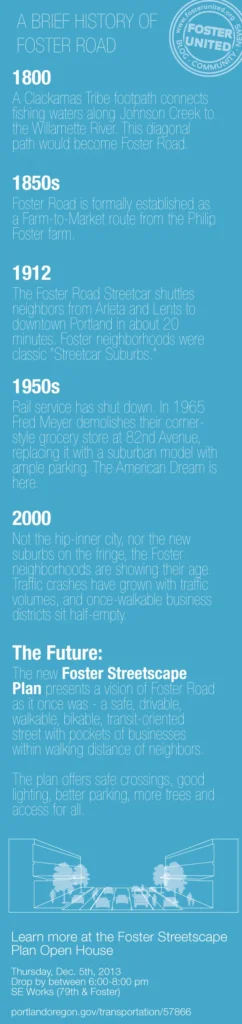
In 1892 street car line of Portland, Chicago & Mount Scott Railway Company opened a branch steam dummy from railway from SE 50th and Hawthorne to 102nd in Lents. The route that included SE Foster section streetcar electrification was completed in 1901. Streetcar service on SE Foster was discontinued in 1936. Richard is an amazing public speaker; I highly recommend attending one of his talks.
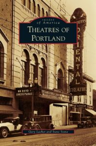
Theatres of Portland by Gary Lacher, Steve Stone (2009)
Chapter three “Lost in the Neighborhoods” includes the cluster of theaters on the streetcar served theaters along SE Foster. Steve Stone was so excited by the development of this tour that the entire focus could be on Foster’s historic theaters. The cluster if theater in this neighborhood was only matched by Portland’s Historic Downtown and St. Johns early city days.
 Portland Confidential Sex Crime & Corruption in the Rose City (2018)
by Phil Stanford
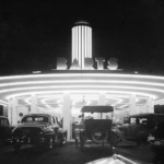
Some of the best images shared with me of 1940s 1950s SE Foster were shared with me by Thomas Robinson. He had aquirred negatives taken for the Oregon Liquor and Commission (OLC). Many of these appear in Phil Stanford’s book. I asked Phil why he had included the Foster images in his book and he said it was because they most captured the feeling of 1950s Portland.
Sanborn Maps
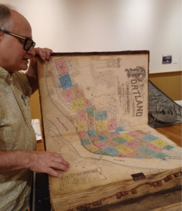
These maps are highly detailed, large-scale maps, primarily used by fire insurance companies, that depict urban and commercial areas in North America.Today, Sanborn maps are widely used by historians, researchers, and others interested in urban development, architecture, and social history.
Library of Congress Link is to amazing color scans of the Sanborn Map Company, 1908 – 1909 Vol. 5, 1909 City of Portland
Multnomah County Library Link is to black and white scans Digital Sanborn Maps 1867-1970 for cities within the State – you will need a library card to access the maps
Food Tips
Travel Portland’s 2025 Post is pretty spot on. Link
Launch Pad
 For the Love of all things Foster: Blog 2008-2017 Jeff’s unofficial, sometimes snarky, often times overjoyed take on the assorted goings-on in the neighborhood. Jeff was leading monthly tours of Foster as a staff person at Venture Portland and asked me to take over. He came on half a dozen of the tours as a co-host and helped integrate my skills with his lived experience.

Ready to Walk with Us Again?
Book a Tour | Join our Mailing List | Follow on Instagram
This webpage post contains affiliate links. If you click and make a purchase, I may earn a small commission at no extra cost to you.