Fun Fact #71 How many city parks were combined to create Forest Park in 1947?

Children in a group of about a dozen walking on Forest Park

Updated 6-19-2025 New Image

Fun Fact #71 How many city parks were combined to create Forest Park in 1947?

Children in a group of about a dozen walking on a dirt path in Forest Park
Parks & Recreation – Parks and Recreation (Archival) – Photographs – A2001-045.681 : children hiking in Forest Park Courtesy City Archives

Answer: Four Parks 

#1 Macleay Park

Macleay Park, Georg F. Holman Park, Clark & Wilson Park (O.M. Clark Park) Linnton Park (Pioneer Park)

Forest Park was once Native American land. By 1847, squatters had already settled on the land, a practice that continued through the Great Depression. Many prior donation land claims, in fact, make up what we celebrate as a park today. The larger claims included those of Solomon Richards, George Watts, W.W. Baker, George Kittridge, Marcus Neff, Levi C. Potter, Milton Doan, and William Cornell. Moreover, the park is not only a combination of prior official parks; the city also acquired other land through liens, purchases, and land swaps.

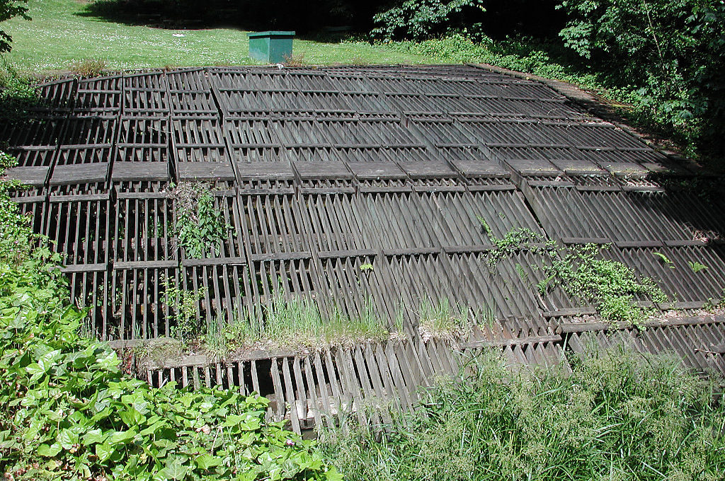
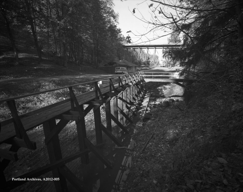
Fun Fact #44 Focused on wooden walkway and grate right at the beginning of the Lower Macleay Trail.

#2 Clark & Wilson Park

Clark & Wilson Park 18 acres was gifted in 1927 to the city by Clark and Wilson Lumber
Company in 1927. Hike with Images.

Doug Fir Trees
1905 City Archives Picture. Parks & Recreation – Parks and Recreation (Archival) – Photographs – A2001-045.1187 : Forest Park

#3 Linnton Park (also called Pioneer Park)

Linnton Park (also called Pioneer Park) 287 acres of land clear cut by timber industry  transferred to the City of Portland when A. Meier died in 1938.

287 acres of land clear cut by timber industry  transferred to the City of Portland when A. Meier died in 1938.

#4 George F. Holman Park

George F. Holman Park to the north of Macleay Park 52 acres. It was give to the City of Portland in 1939 by George and Mary Holman Pence had damaged the landscape to such a degree the vision of a city suburban residential development fell flat. The Holman Property id on the slopes of Balch Creek.

Tour guide Dr. March wrote a press article in 2016 about the effort to save the home of their father a well-known lawyer Frederick Van Voorhies Holman. Link


Fun Fact #44 What is the wooden walkway and grate right at the beginning of the Lower Macleay Trail?

This is just a skeleton - frame of wood in a man made dirt cut. This was built and soon cement will be poured to create a dam.

What is the wooden walkway and grate right at the beginning of the Lower Macleay Trail?

Answer: Trash Filters

The urban stream known as Balch Creek goes underground in Lower Macleay Park, just before the Thurman Street Bridge.  The visible man-made barriers there are the wooden a wood trash filter or “trash rack” that prevents large logs and other debris from entering the combined storm sewer pipe taking the creek to the Willamette.  The “walk way” in question was designed to collect smaller objects from entering the pond created by the dam.  Archival construction images show the dam beneath the wooden grate system and the walkway (the “old maintenance bridge” has now decayed and often misidentified as a vestige of Lafe Pence’s 14-mile sluice system of 1906-07).

Balch Creek Diverted into Sewer

In 1921 City of Portland diverted the creek into a pipe (culvert).  The historic system was causing flooding so a dam and more vigorous 9,000 foot sewer system the Thirtieth Street Sewer (AKA Balch Creek Sewer AKA Balch Creek Covert) was proposed in 1930 and complete February of 1932 for a cost of $112,558.33.  The dam is hidden under the existing trash filter, constructed under the direction of the City of Portland’s the Public Works Administration the cost was passed onto rate payers in the region.  In addition to regular maintenance, major restoration efforts were conducted in 1945 and 1970.  Balch Creek runs 3.5 miles from its headwaters on the crest of the West Hills to the Willamette River.  A primary source of water for the City of Portland in the mid-nineteenth century, it was already contaminated by 1895.  Urban use and development from villains like Lafayette Pence (1857-1923) to residential development (1888-today) have degraded the watershed.  The creek, named for Danford Balch, who held the original donation land claim to the area, currently supports up to 4,000 isolated cutthroat trout.  Logs and wapato plants have been deliberately placed in the stream to enhance the habitat for the fish.

This trash rack is included on our Slabtown Tour Route.